Beechwood
Head through Wauchope and take the right-hand fork at the Showground to head to Beechwood, a fast growing village with large lot land development intermingled with original homes and rural acreages alongside Australia’s favourite Country Pub, the Beechwood Hotel (Wotif in 2021)! You’ll also find the Beechwood Café & Bar a short stroll away, with both venues serving generous country-style meals with great outdoor areas as well. Beechwood is also host to the famous (some say infamous) Beechwood…
Bonny Hills
Located south of Lake Cathie, Bonny Hills boasts some of the best coastal views in the region. It is home to the stunning Rainbow Beach, a huge expanse of white sand that goes on forever. The beach is patrolled during summer and has a fantastic picnic and BBQ area with playground equipment. Not only popular for swimming, Rainbow Beach is also an excellent surfing beach for both body boarders and surfers. The elevated coastal views from this seaside village, 20 kilometres south of Port Macquarie,…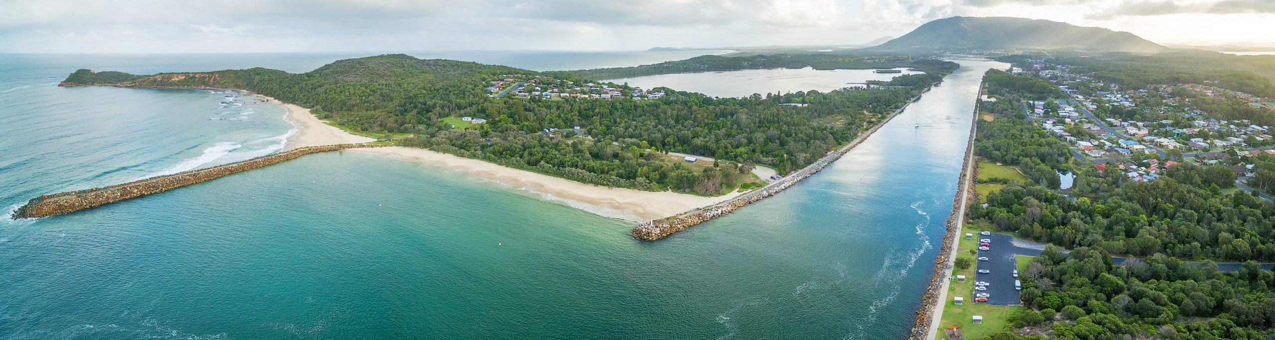
Camden Haven
Camden Haven is approximately 30 km south of the major regional centre of Port Macquarie. The harbour is located where the Camden Haven River empties into the Tasman Sea. Camden Haven is also the name given to a group of settlements located on the shores of Camden Haven and in the rural hinterland. Laurieton, located on the harbour's western shore, is the largest town and the commercial centre for the Camden Haven district. Other communities in the immediate vicinity include North Haven and…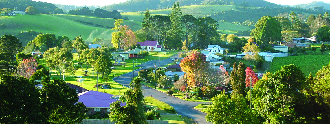
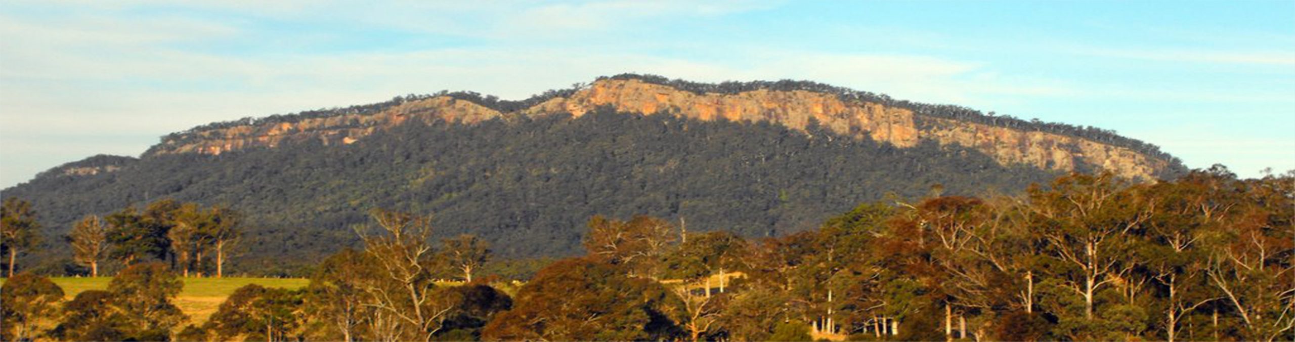
Comboyne
Comboyne is a small rural village which lies west of Port Macquarie. Historically a timber and dairy town, today it is known for its cut flower farms, avocado, kiwifruit, blueberries, macadamias and potatoes due to its fertile red basalt soils and high rainfall. Located 38km west of Wauchope or if you're travelling from the south, 20km west of Lorne.…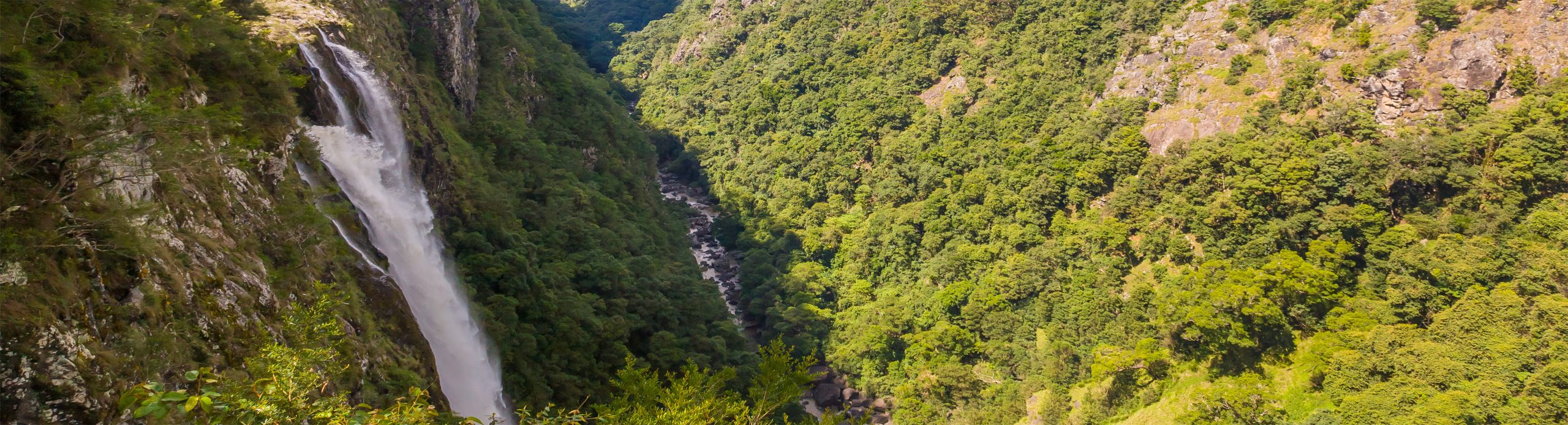
Ellenbourough
Ellenborough is a village straddling the Oxley Highway and the Ellenborough River, less than one kilometre south of its confluence with the Hastings River. The village is about 33 km west of Wauchope and approximately 71 km east of Walcha. Passing through the villages of Long Flat, Kindee and Yarras from Wauchope to Mount Seaview ,dotted with original homesteads, lifestyle properties and agricultural farmland.…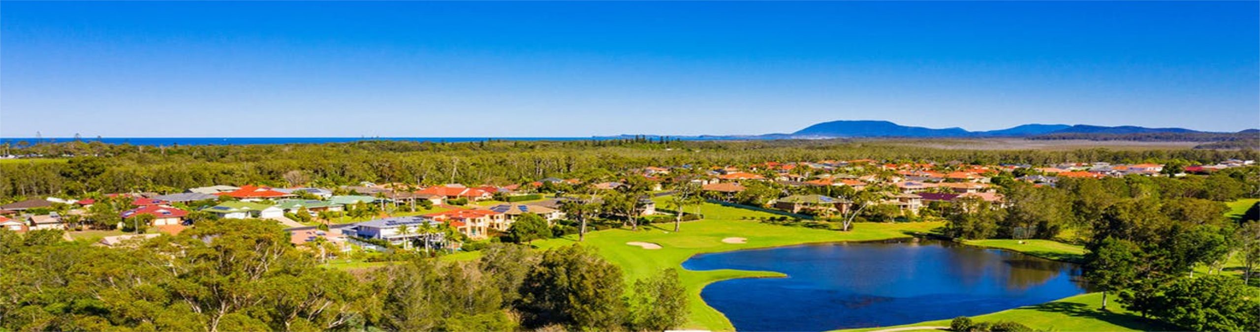
Emerald Downs
Emerald Downs Residential Estate was designed to create first-class living with generous sized house blocks, offering a north/south aspect, set amidst the 18 Hole Golf Course. Located only a few minutes on foot from the convenience of local shopping centre and Tacking Point Tavern, and it is an easy walk to beautiful Lighthouse Beach, schools, bus stops, coffee shops, petrol stations, plus a variety of eateries.…
Innes Lake
The 1000 ha property known as Innes Lake Estate is part of Port Macquarie’s growth area. Innes Lake Estate was the first fully planned and constructed, residential community in Port Macquarie, which was mindful of and incorporated a safe and sustainable living environment for residents and fauna. Convenient to St Columba Anglican School, Charles Sturt University, Port Macquarie Base Hospital and Lake Innes Shopping Centre. This estate is popular with families, downsizers and investors.…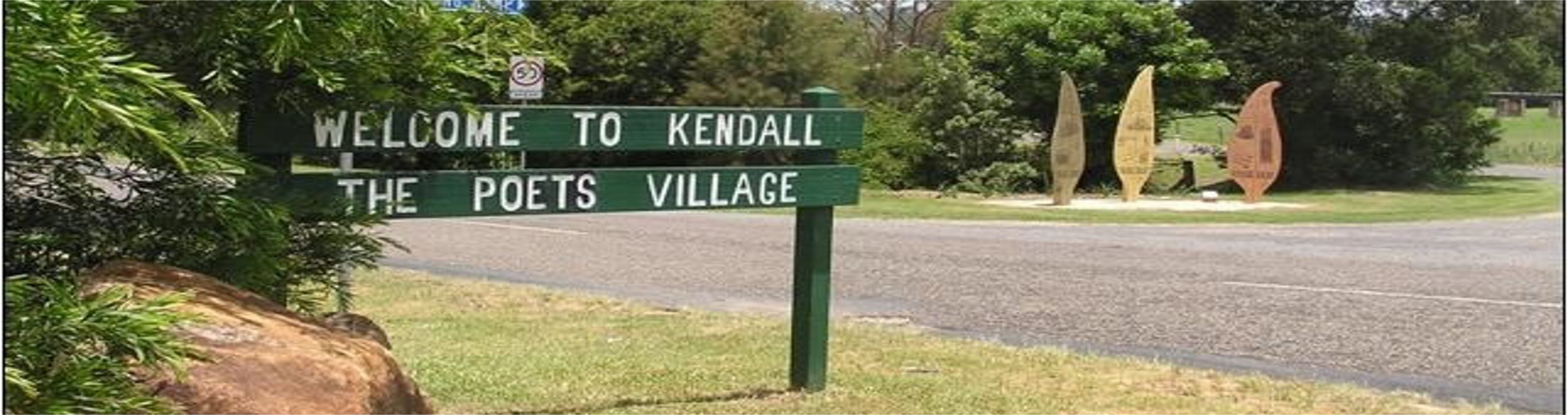
Kendall
The village is named after a famous Australian poet. Henry Kendall, and is known as "The Poet's Village". It is a hinterland town, west of the Pacific Highway.. The area around the town, which is located in the Camden Haven River Valley, is characterised by lush farmlands and peaceful national parks. The village offers a Countrylink Train Station, the highly awarded Kendall Tennis Club, Community Pool, Returned Services and Citizens Club along with a general store, primary school, Golf Club…
Kew
Kew is one of the communities that make up the Camden Haven district of Port Macquarie-Hastings. The largest school in the district, Camden Haven High School, is located 2 km east of Kew on Ocean Drive. Kew Country Club is both a bowling and golf club and is located 100 metres west of the Pacific Highway traffic lights. Surrounding villages include Kendall to the west, Rossglen to the south and the township of Laurieton to the east.…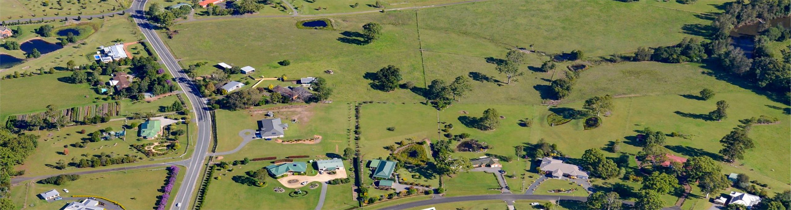
King Creek
King Creek is located on the western side of the Pacific Highway, within 10minutes of Port Macquarie and Wauchope. A highly sought after area that offers larger than average residential and semi rural lifestyle blocks. Straddling Sarah's Creek with the Cowarra Dam a few kilometres south. The recently developed pockets within the King Creek and Bago Estates showcase executive style homes on small acreages. …
Lake Cathie
Pronounced Lake cat-eye, and located midway between Port Macquarie and Laurieton, Lake Cathie is centered on a large toddler-friendly saltwater lake and is perfect for young families. The town is a popular holiday destination on the Mid North Coast because of its tranquil location which hosts the lake, lagoon and beaches. It has a Woolworths supermarket, local Tavern, Lake Cathie Bowling Club, bakery, fish chip shop, coffee shop, pharmacy, post office, a newsagent, Child Care facilities and smallspecialty…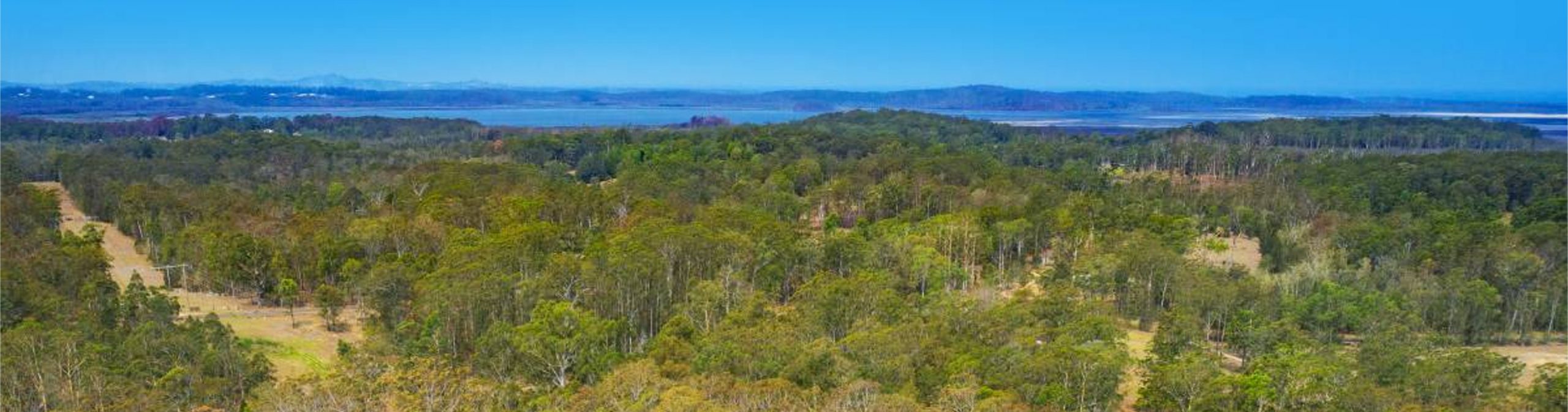
Lake Innes
Lake Innes is community haven of lifestyle acreages. Lake Innes Drive is accessed from the Pacific Highway (M1) with no thoroughfare to Port Macquarie main. This pocket of semi rural properties is often confused with Innes Lake, which is a residential estate on the eastern side of the lake. The original development plans of the 1970's was for properties to have water-frontage to Lake Innes. This was abandoned early in the development of the estate. The area is desired by treechangers looking for…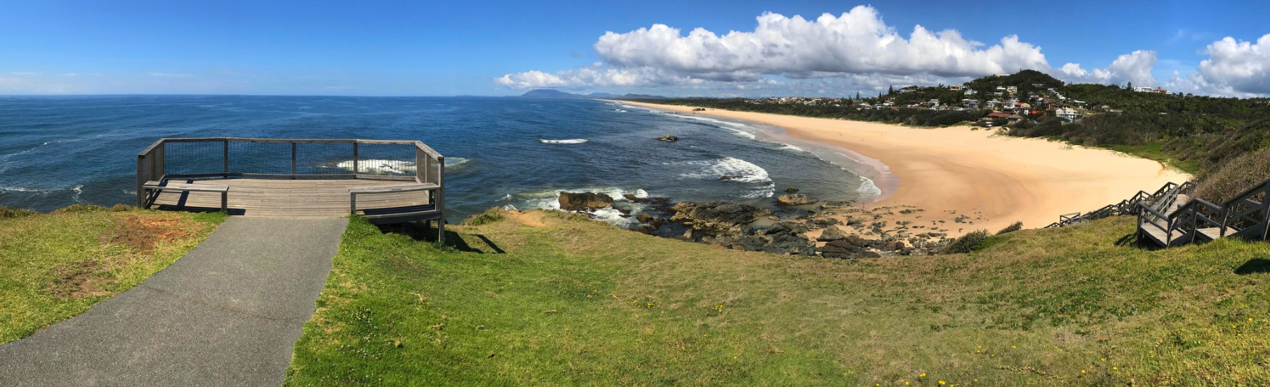
Lighthouse Beach
Lighthouse Beach - Greenmeadows is bounded by Koala Street, Grace Close, Emily Avenue, O'Briens Road, Orr Street, Pacific Drive and Lighthouse Road in the north, the Tasman Sea in the east, the locality of Lake Innes in the south, and Lake Innes Nature Reserve in the west. Located seven kilometres south of Port Macquarie’s town centre. A nine kilometre stretch of south-east facing sand, the beach is patrolled during the warmer months and has a surf club with a kiosk. Lighthouse beach is one…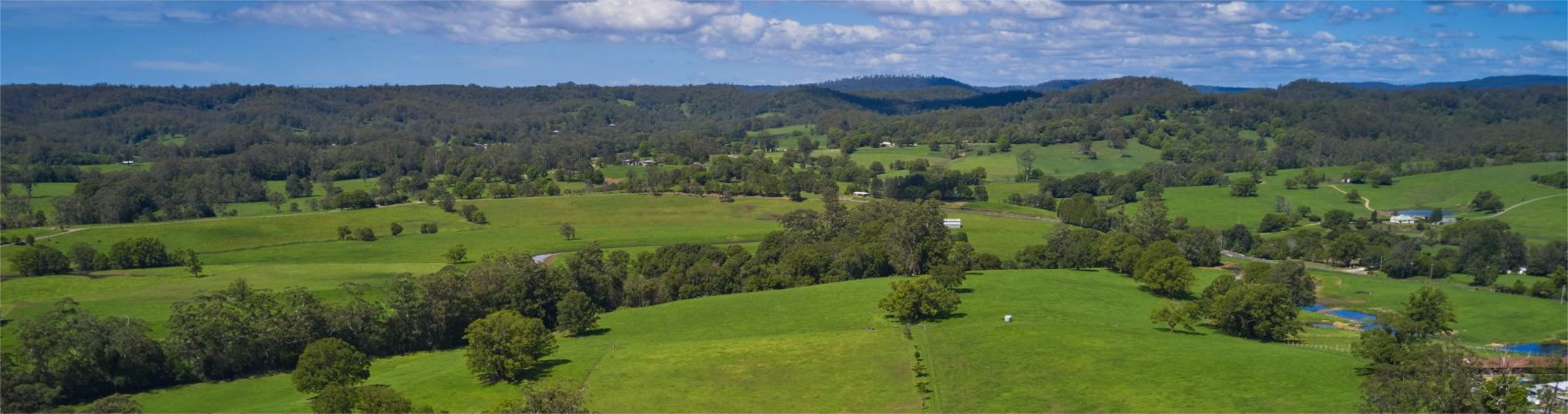
Lorne
Lorne is located in the hills west of the Camden Haven region. The seemingly perpetual lush green country side with rolling hills provide ideal pasture for beef and dairy farmers and those looking for lifestyle acreages. The communities of the Lorne Valley include Stewarts River, Johns River, Black Creek, Swans Crossing, Hannam Vale, Batar Creek, and beyond to the fabulous scenery of the Comboyne Plateau.…
North Shore
The unique northern shore of the Hastings is serviced by two car ferries linking the north side to Port Macquarie’s CBD. The ferries provide access to North Shore (near the Settlement Point Ferry), Riverside (the Hibbard Ferry community), Limeburners Creek Nature Reserve, North Beach and the north breakwall, Coal Wharf Reserve, the Corilla community, plus Crescent Head and Point Plomer via the Maria River Road (gravel road). North Shore beach sweeps to the south-southwest for 13 km to Pelican…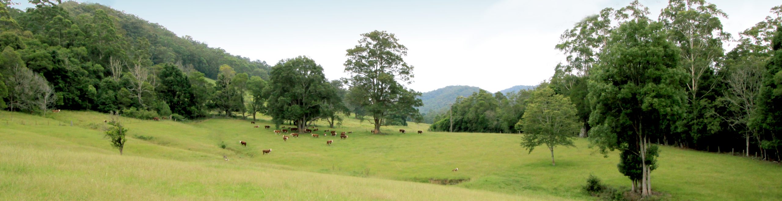
Pappinbarra
The foothills and flats of Pappinbarra Valley, stretching from the Mount Boss State Forest in the west to the outskirts of Beechwood in the east, were cleared by the original landholders. This country offers tree changers and escapees from the city the opportunity to live a simpler, more sustainable life in a beautiful valley with a real sense of community. The Pappinbarra Region stretches west from Beechwood with the Pappinbarra River snaking its way through Lower Pappinbarra , Hollisdale, Pappinbarra…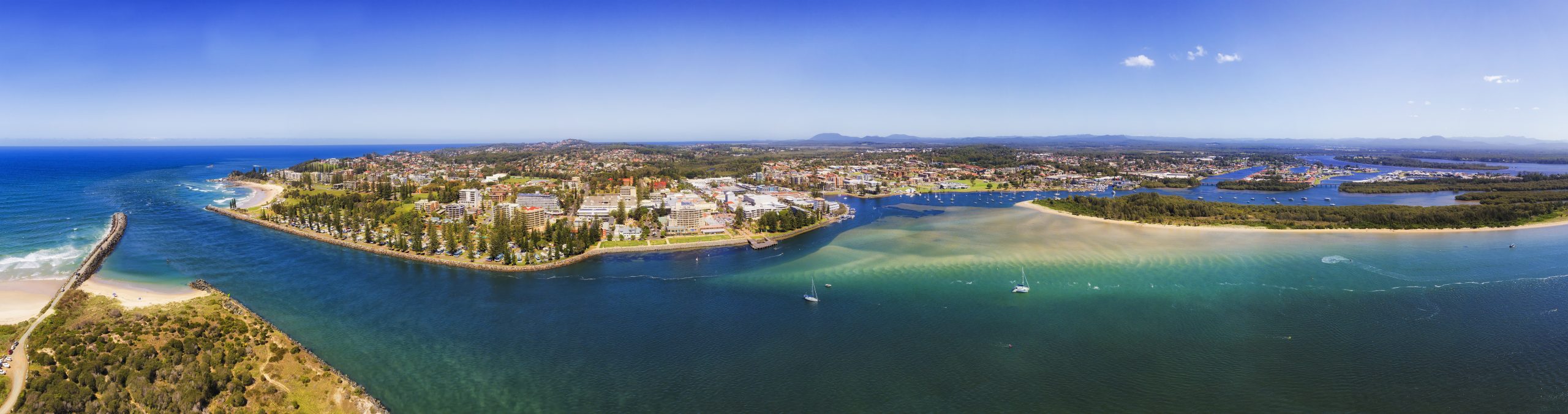
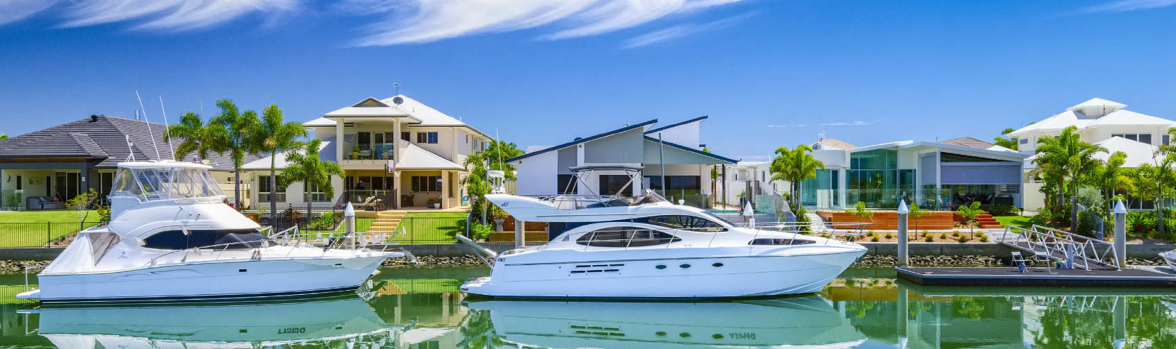
Port Macquarie
Greater Port Macquarie is a place of unspoiled beauty, with pristine secluded beaches, sparkling estuaries and stunning national parks . The region offers a fantastic lifestyle and climate, a rapidly growing and diverse economy, comparatively affordable and accessible land, and outstanding business opportunities. We have a strong labour force and, as a key regional centre, are well positioned to be a major beneficiary of the continued rise and popularity of the Mid North Coast. Travel time to…
Rawdon Island - Sancrox
Named after Francis Rawdon Hastings, first Marquis of Hastings. Rawdon Island, located 15 minutes west of Port Macquarie, is actually made up of two islands - Little Rawdon Island and the main island, a rich and picturesque farming area. Sancrox is situated west of Port Macquarie between the Oxley Highway and Pacific Highway and is highly desired due to its quality homes on lifestyle acre blocks and proximity to the CBD of Port Macquarie and the township of Wauchope.…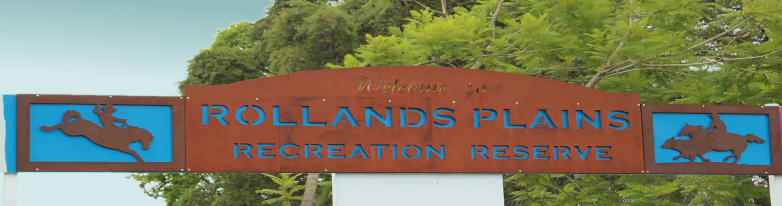
Rollands Plains
The area is divided into Rollands Plains and Upper Rollands Plains. Rollands Plains is also a part of the traditional indigenous Dunghutti land. Rollands Plains has a school of arts hall, cemetery, oval, a Rural Fire Service, and the Upper Rollands Plains Public School. Lifestyle acreages sit beside larger beef and dairy properties. The area attracts families and equestian enthusiasts. Located inland from Telegraph Point and surrounded by the communities of Gum Scrub, Bellengarra, Bril Bril…